
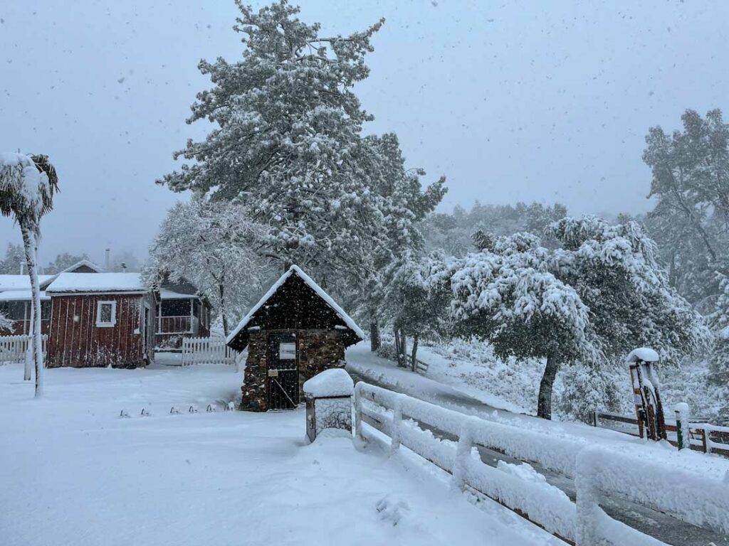
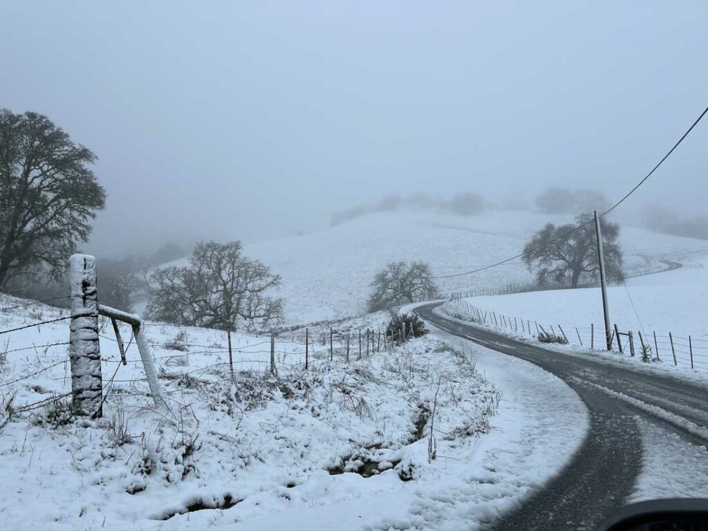
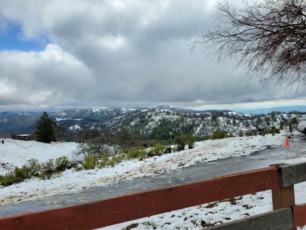
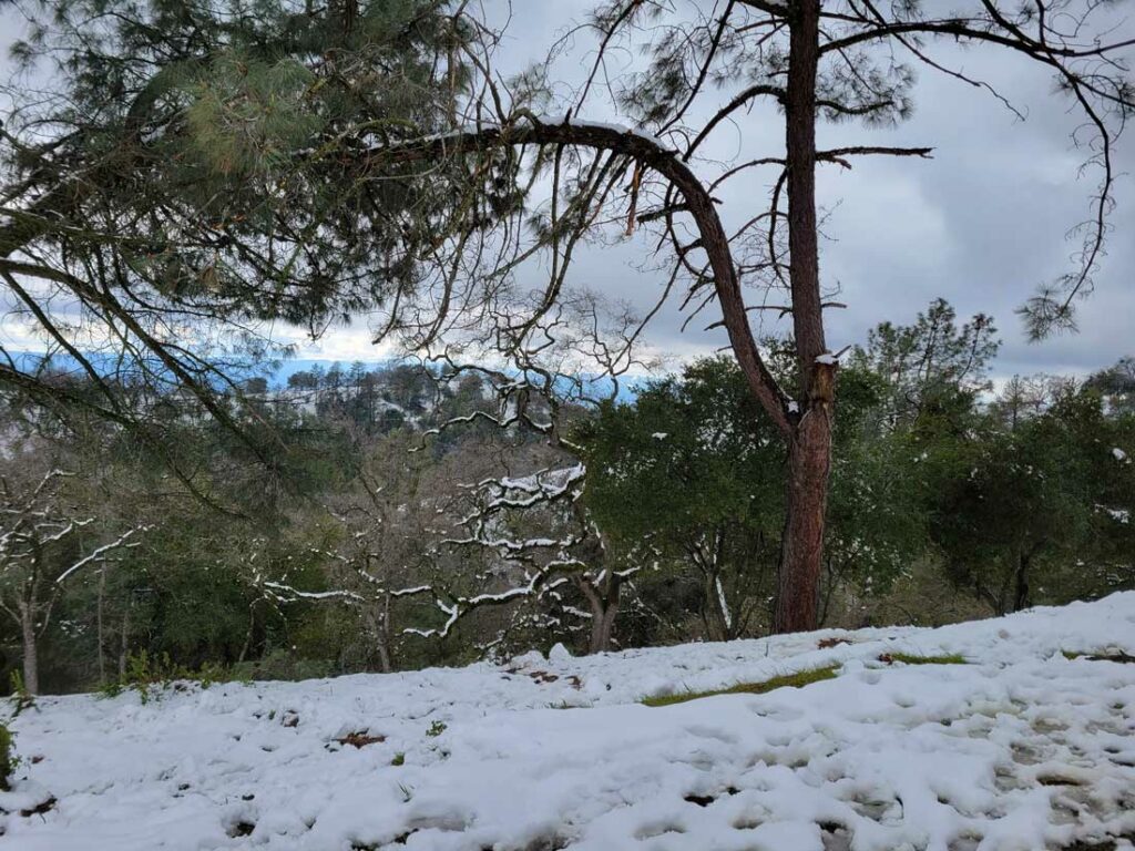
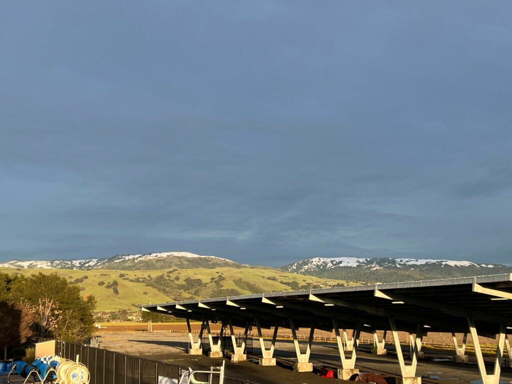
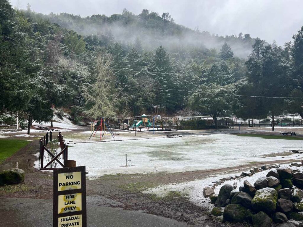
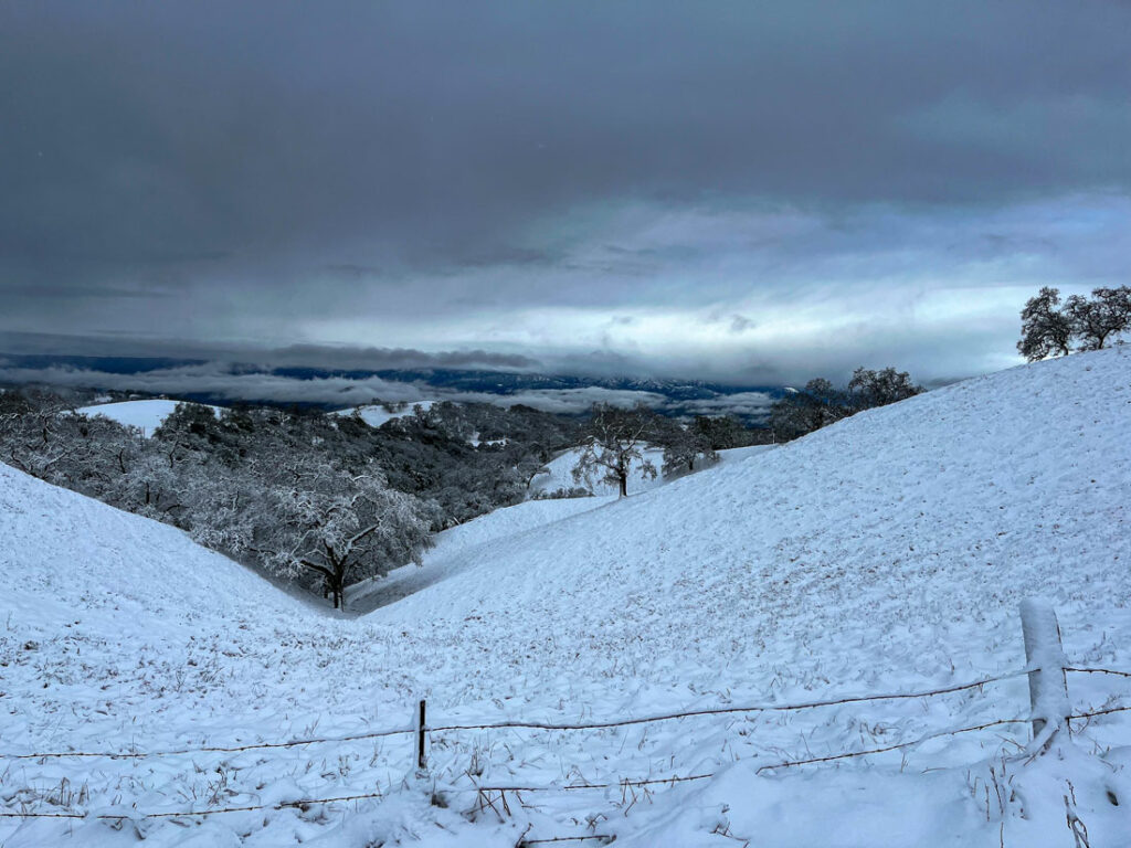
The wild and suspenseful saga that is the winter of 2023 continues, with the latest chapter bringing rare snowfall to South Valley—not just once, but multiple times since last week—blanketing the hills above Morgan Hill, Gilroy and Hollister with accumulated frozen precipitation.
Some locations in the Bay Area—including Henry W. Coe State Park east of Morgan Hill and peaks in Los Gatos on the west side of the valley—saw nearly 12 inches of snow build up on the ground through a series of storms from Feb. 23-27. The precipitation and wind resulted in fallen trees and power lines that damaged structures and blocked traffic, and slippery roadways that made for unusually dangerous travel conditions on the hillsides.
Tens of thousands of PG&E customers up and down the valley were without electricity for hours at a time due to the inclement weather.
Social media users posted photos and videos of snowmen, snowball fights and hilly vistas covered in snow with dark skies above. Road closures were reported constantly from last Thursday through the weekend, including a Feb. 23 closure of Highway 101 in Menlo Park, during the afternoon rush hour, due to a downed power line that had to be repaired.
The National Weather Service issued continued frost and travel alerts for higher elevations, and flood warnings due to heavy rainfall on the flatlands. In San Benito County, officials sent out nearly a dozen frost and flood advisories to residents from Feb. 23-28, as rainstorms and freezing temperatures persisted.
And the NWS’s forecast through this weekend shows even more wet weather and cold temperatures—though perhaps not quite as much snow as the region saw last week. NWS Meteorologist Rick Canepa said a cold front on Feb. 28 would continue to bring rain showers to the valley and “the frozen variety of snow at higher elevations” through early March 1. Frost advisories were in effect through early Wednesday morning.
That system could also bring pea-sized hail with a slight chance of thunderstorms from Morgan Hill to San Benito County, Canepa said.
By Wednesday afternoon, temperatures are forecast to reach the lower-50s with “mostly sunny to sunny” skies, and the mercury dropping to the low-30s at night, he continued. Thursday is expected to be sunny, with high temperatures in the upper-50s.
Then on Friday is forecast another cold front, with lows in the mid- to upper-30s, Canepa said. Over the weekend a chance of showers is expected throughout the South Valley. That system could bring a “light dusting” of snow Saturday night and Sunday morning to elevations about 3,000 feet and higher, and along the peaks of the Santa Cruz Mountains.
The forecast adds to a historically wet and cold winter for the region. According to Chris Henry, a weather enthusiast who has kept rainfall records at his west Morgan Hill home since the 1980s, more than 34 inches of rain has fallen on Morgan Hill since July 1, 2022—far surpassing the seasonal average of about 24 inches.
On his Facebook page “Morgan Hill Rainfall,” Henry posted a video from 12:40pm Feb. 27 showing a steady snowfall on East Dunne Avenue on the way to Henry W. Coe State Park, at about 1,800 feet above sea level.
According to the San Benito County Water District, rainfall in Hollister this winter totals 13.62 inches as of the middle of February—the last time the district’s online rainfall chart was updated. The 10-year average for total seasonal rainfall for Hollister is 10.86 inches.


Love all these pictures! I have been a subscriber for a long time and do enjoy this coverage!!!!!