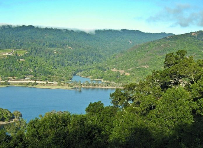
Sierra Azul Open Space Preserve is big and rugged. From Los Gatos and Lexington Reservoir to the north down to Mt. Umunhum and beyond, this 17,400-acre preserve rides the crest of the Santa Cruz mountains that overlook San Jose and the entire south bay.
I have done a loop hike at each end of Sierra Azul, but I have never walked the full length of the preserve from end to end. This is an ambitious hike that requires a car shuttle. Apparently, I caught my friend, Marty Cheek, at a weak moment. Marty signed on, and we watched the weather waiting for a break in the recent succession of storms.
The morning we chose for our hike started with a low dreary ceiling, but I put complete trust in my local TV meteorologist, who promised clear skies as the day progressed. We caravanned to Lexington Reservoir and dropped one car at the trailhead, where we would emerge. Together, we then drove past Guadalupe Reservoir to our starting point at the intersection of Hicks Road and Mt. Umunhum Road.
The sky was still gray as we started along Woods Trail toward our other car 12 miles away. The first four miles of the Woods Trail are level and contour across a watershed where the Guadalupe River is born. After only a few steps, we could hear the music of cascading water, and at each crease in the slope, we crossed a beautiful stream splashing past.
Flat never lasts long at Sierra Azul. As fire roads that double as footpaths often do, the trail began to climb at an unfriendly angle. We rose above the forests in the shaded valleys into more exposed terrain covered with chamise, toyon, and manzanita, typical chaparral foliage. Finally, the trail leveled out and we were at the summit of 3,000-foot Mt. El Sombroso. The gray skies had lightened a bit, but we were left to imagine the great view of the cube atop Mt. Umunhum and the vistas across the south bay.
Now, gravity was our friend as we started down the far side of the ridge. Less than a mile from the crest, the Woods Trail ended at a junction with the Limekiln and Kennedy Trails. Still more than five miles from the car, we chose the Limekiln Trail that dropped steeply toward Los Gatos Creek. The blanket of overcast began to break up into puffs that opened changing windows to the sunlit hills below.
Everything about this slope, the aspect and the chaparral, tells you this is no place to be in the middle of a warm afternoon in August, but it is lovely on a cool fall or winter afternoon. We were surprised to see the manzanita shrubs loaded with dangling buds poised to open their bell-shaped pinkish/white blossoms. I audibly gasped when I passed two flowering currant bushes that clearly do not know how to read a calendar.
Down, down, down. A mile from the end, the Limekiln Trail looks across the huge scar of the Lexington Quarry, then drops into a forest of sycamores and maples that decorate a creek headed for the reservoir.
I have a bone to pick with the weatherman. We didn’t see the views we hoped to see, but it was an exhilarating walk, worth doing again on a clear day.
Join me at 9 a.m. Jan. 1 for our fourth annual New Year’s Hike, a 4-mile hike along the Mummy Mountain Trail in Harvey Bear Ranch County Park. The Mendoza Ranch entrance is up Roop Road above Gilroy, just before the entrance to Coyote Reservoir.


